34
Nearly an Acre in Red Bluff, California Near the Sacramento River!
Nestled midway between the vibrant city of Sacramento and the picturesque Oregon border, Tehama County beckons with an idyllic lifestyle marked by tranquility and outdoor adventure. Boasting a harmonious blend of natural beauty and recreational opportunities, this charming county serves as a haven for those seeking a healthier and more leisurely way of life.
Learn more about Tehama County >>
Tehama County stands as a focal point for a myriad of recreational activities, catering to every outdoor enthusiast's desires. From invigorating hikes along scenic trails to serene camping expeditions under the starlit sky, the possibilities for exploration are endless. Embark on leisurely scenic tours, perfect your swing on lush golf courses, or set sail on tranquil waters for a day of boating bliss. With abundant hunting and fishing grounds, adventure-seekers will find their paradise amidst Tehama's diverse landscapes.
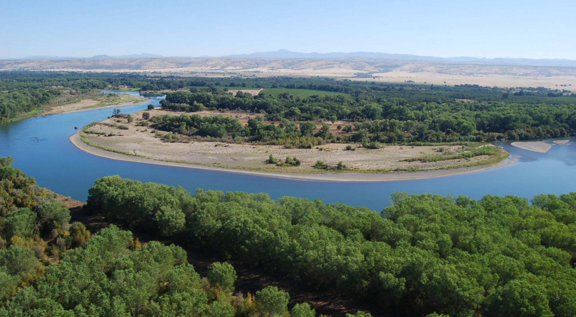
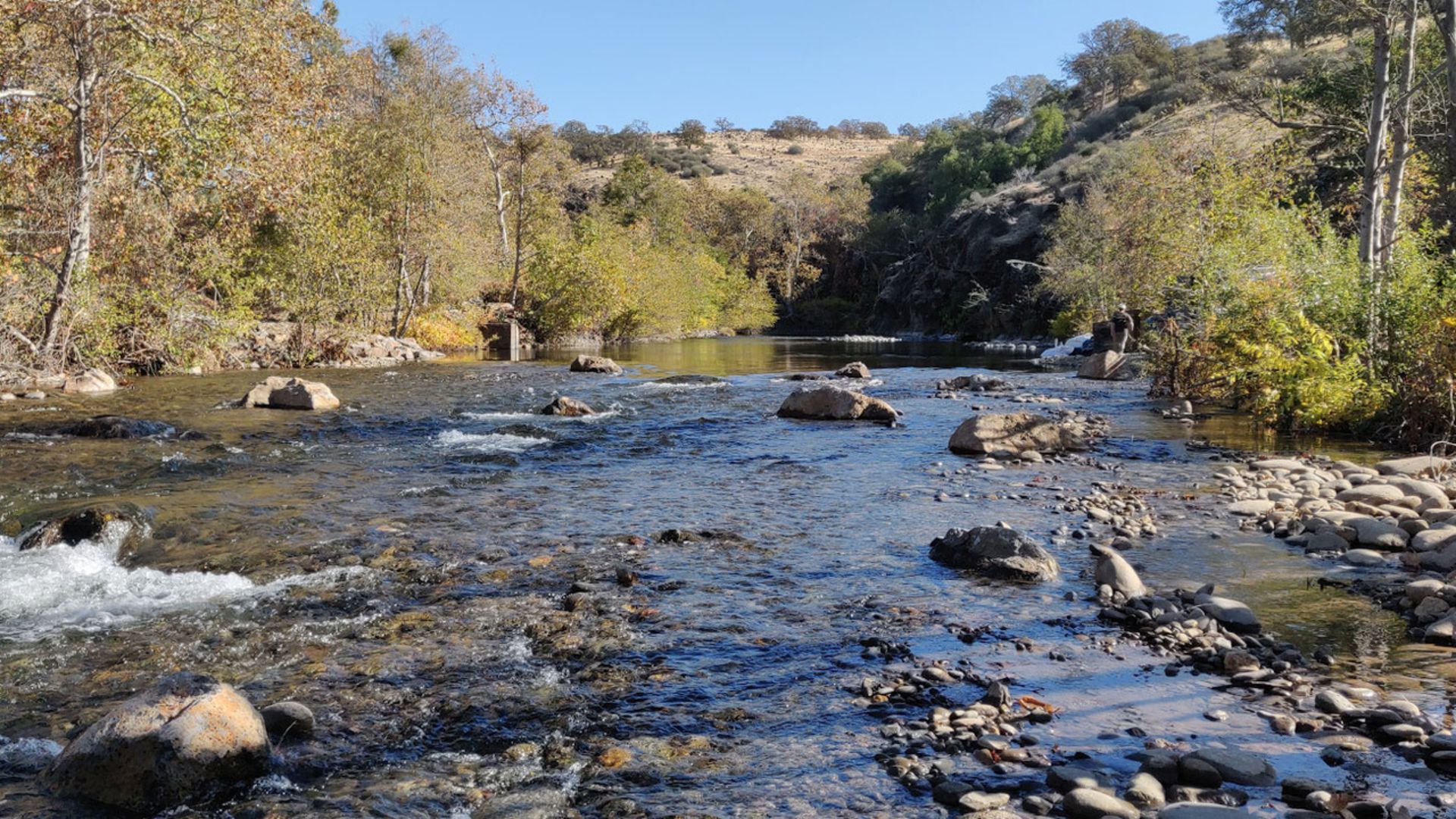
The majestic Sacramento River, a defining feature of the county, winds its way through the heart of Tehama, offering not just breathtaking views but also serving as a vital habitat for one of the world's largest salmon spawning populations. Explore its pristine banks or cast your line into its rich waters for an unforgettable angling experience.
Tehama County's allure extends beyond its rivers and trails, with the iconic Lassen Volcanic National Park beckoning just 55 miles to the east. Home to steaming fumaroles, meadows adorned with wildflowers, and captivating volcanic landscapes, the park promises awe-inspiring adventures for nature enthusiasts and sightseers alike.
For those seeking day-trip delights, the nearby Black Butte Recreation Area, the vast expanse of Shasta Lake, and the meandering Sacramento River offer endless opportunities for relaxation and exploration.
Don't miss your chance to secure a piece of this remarkable location and embark on a journey of discovery in one of California's most coveted regions.
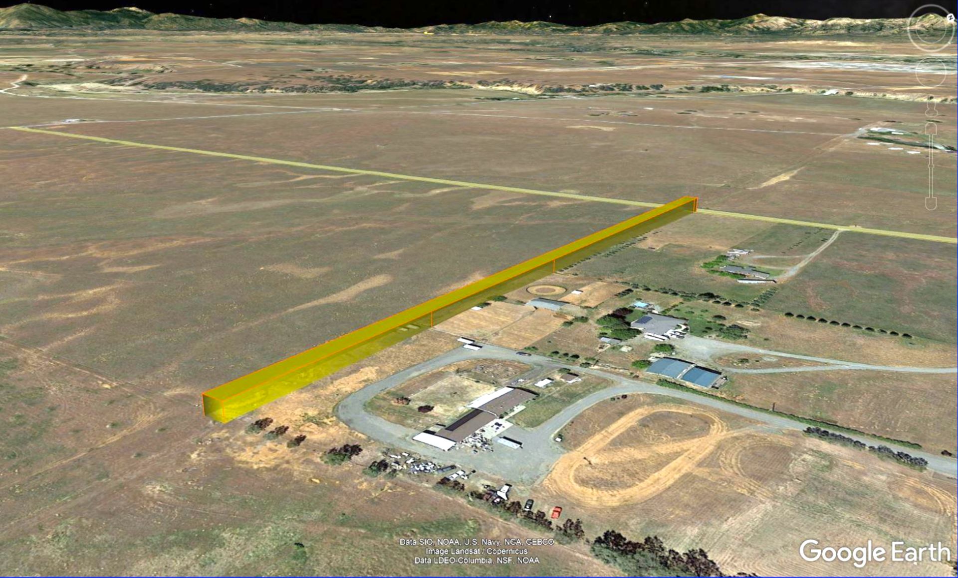
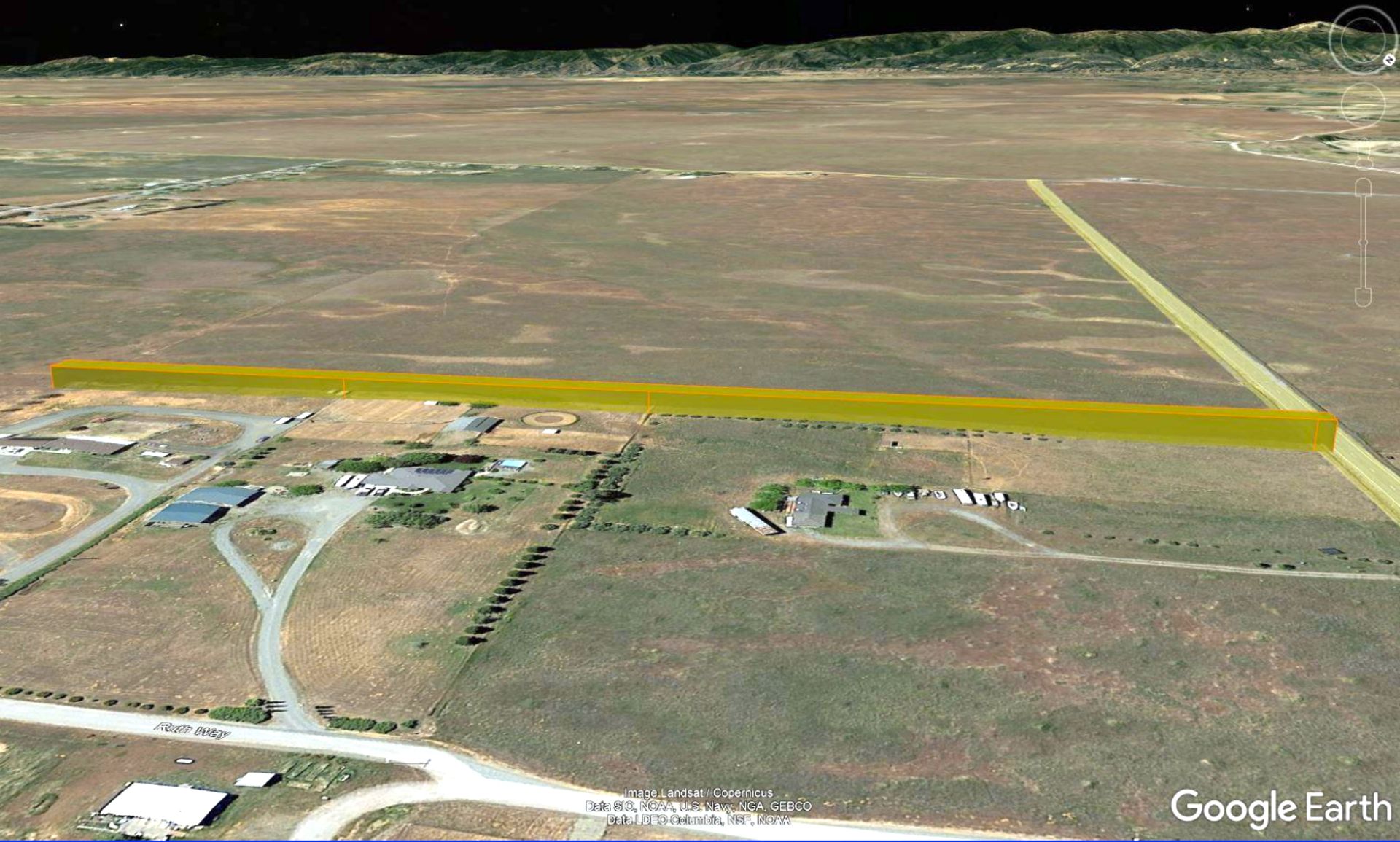
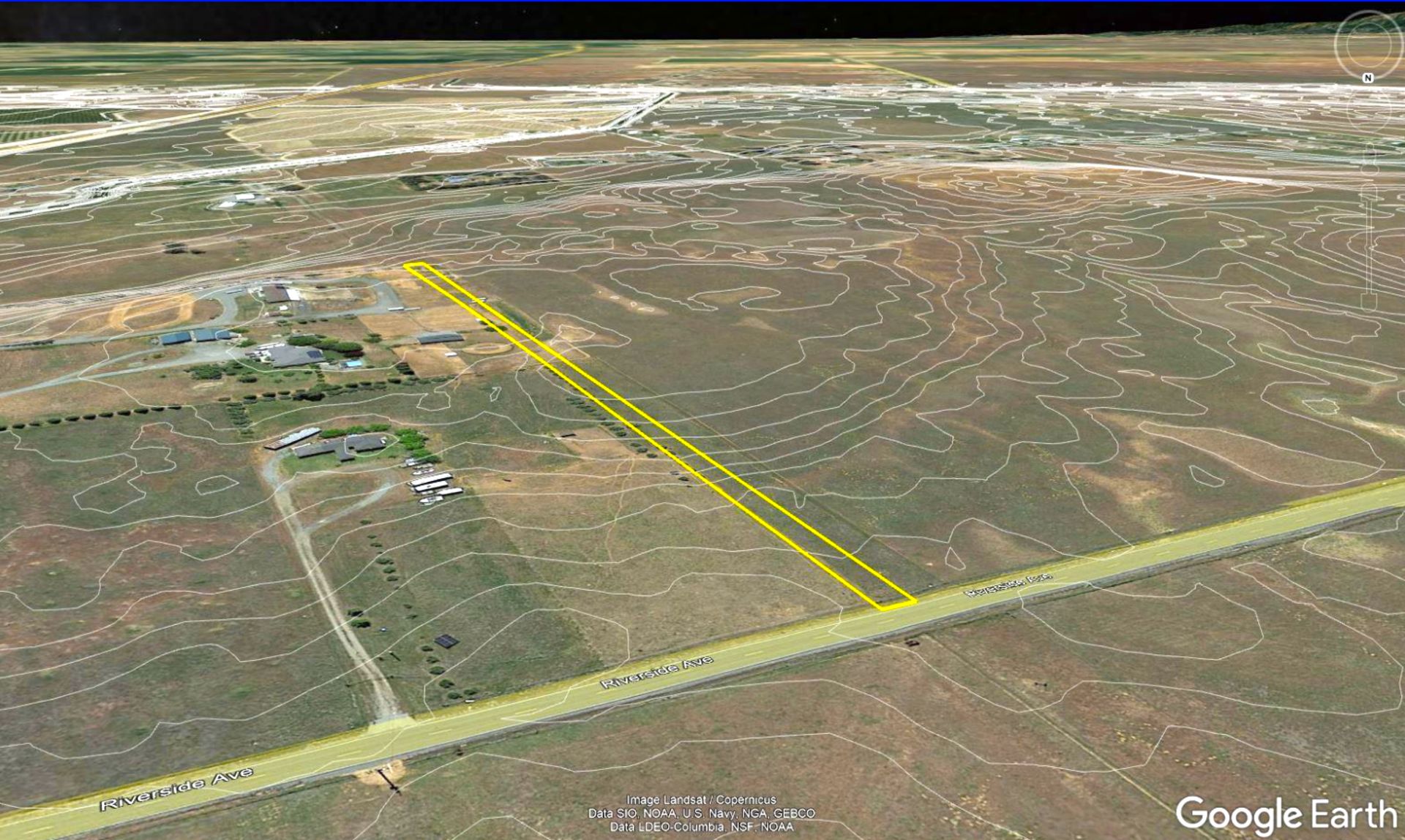
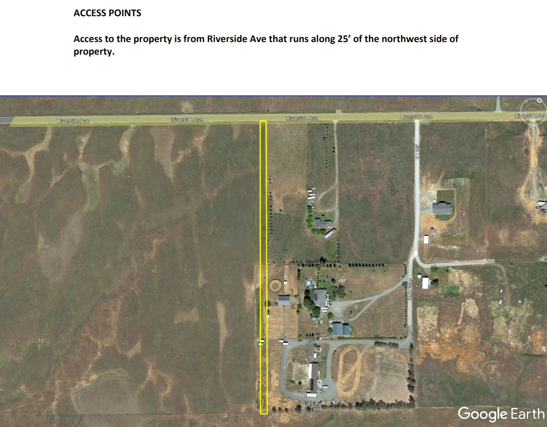
Legal Description: The land referred to herein is situated in the unincorporated area, County of Tehama, State of California, and is described as follows: That portion of the right of way, being 60 in width for West Side Electric Railroad, as shown on that certain Map entitled: Map Showing Orchard Park recorded September 15, 1913, in book F of Maps at page 1, filed in the Office of the County Recorder of the County of Tehama, lying Northerly of the North right of way of Sacramento Ave. of said Orchard Park Subdivision and Southerly of the Northerly boundary of Lot 16 and Lot 17 of said Orchard Park Subdivision. Together with that portion of said right of way, being the easterly 30 for West Side Electric Railroad, of said map, lying Northerly of the Westerly extension of the North line of Lot 29 of said map, and the Southerly right of way of Riverside Ave. Subject to covenants, conditions, restrictions, reservations, rights, rights of way and easements of record if any.
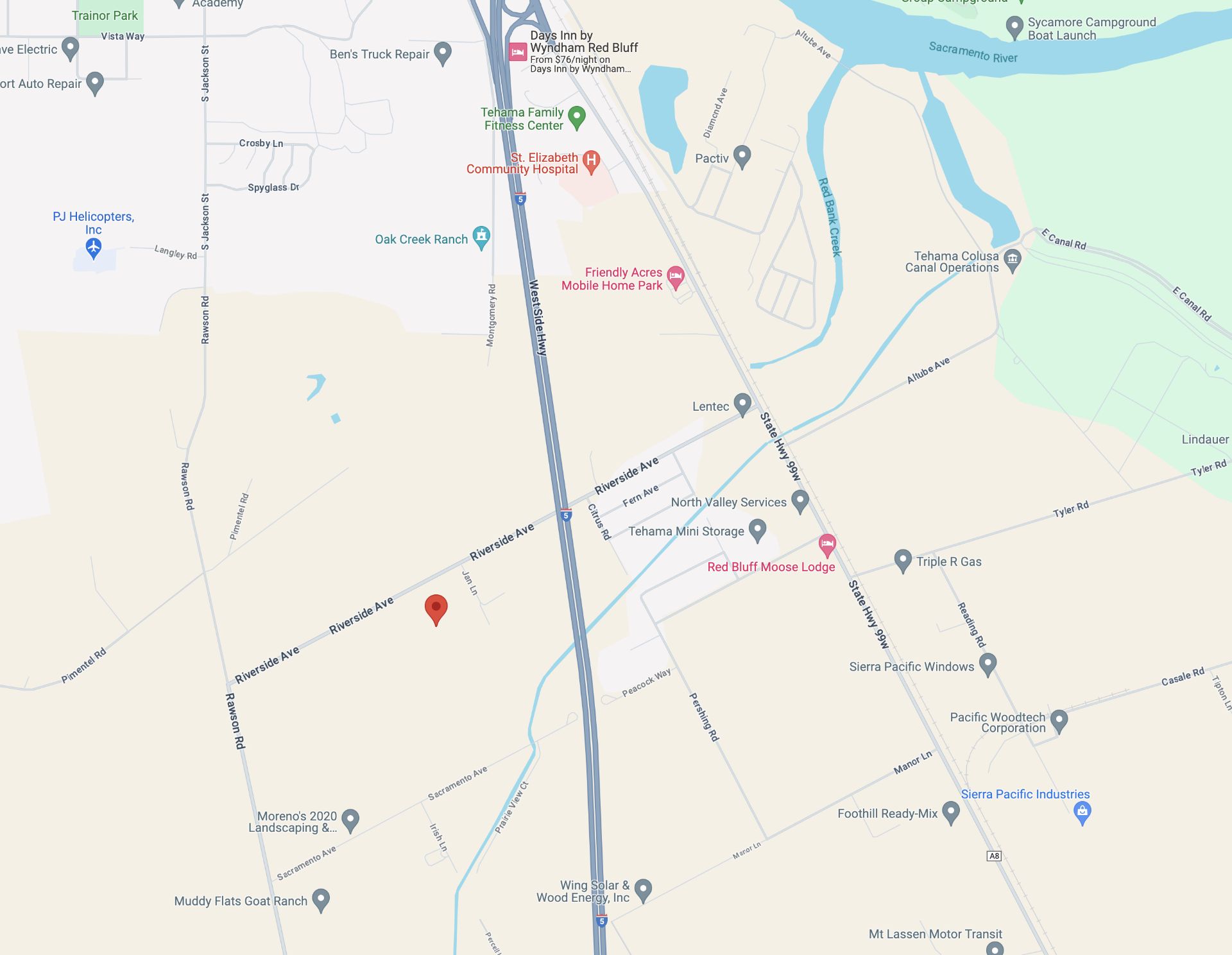
Approximate Coordinates: 40°07'54.3"N 122°13'35.8"W
Lot Size: 0.96 Acre
Property Location - State: California
Area: Land
Property Location - County: Tehama
Zoning: Residential
APN/Parcel ID: 035-190-011-000
Taxes: Under $7 Monthly


